Antarctica.A2012290.0505_th.jpg
0 x 0
JPEG
0 x 0
JPEG
1250 x 1600
325 KB - JPEG
5000 x 6400
3 MB - JPEG

2500 x 3200
1 MB Bytes - JPEG
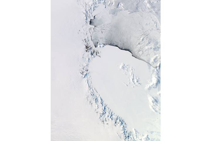
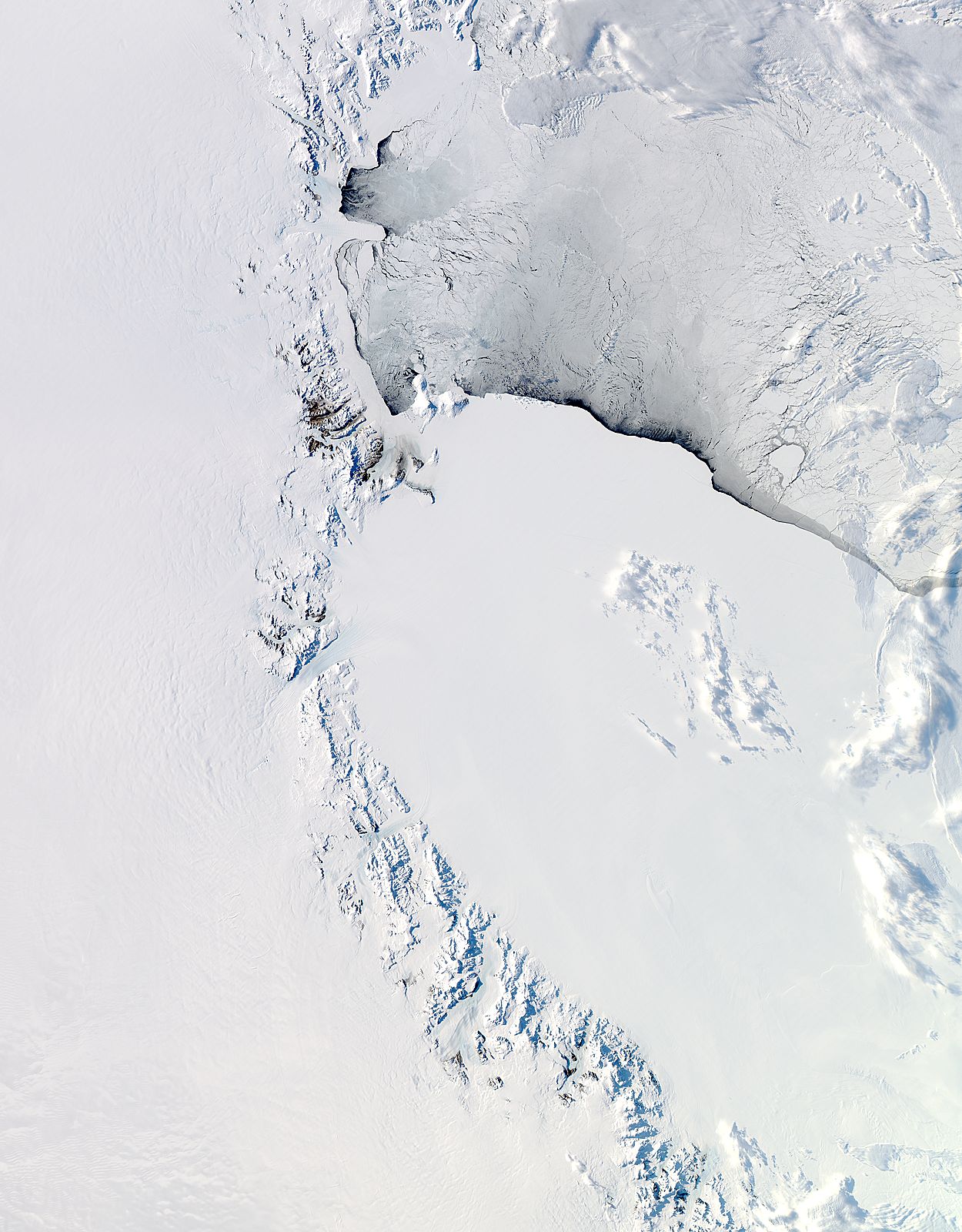
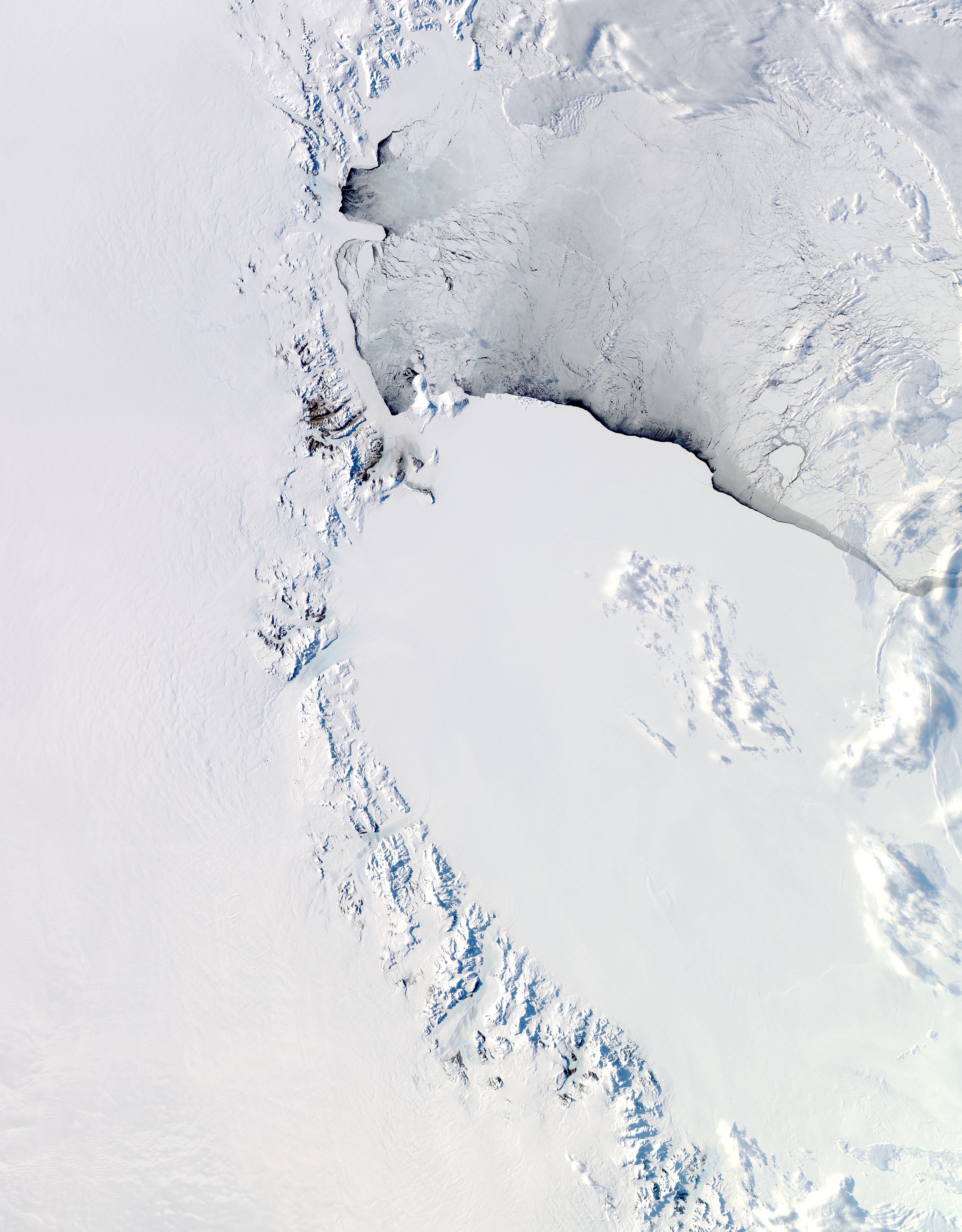
Western Ross Sea and Ice Shelf, Antarctica
Western Ross Sea and Ice Shelf, Antarctica
region: An
sat: Aqua
projection: Lambert Azimuthal
projection center lon: +170.0000
projection center lat: -80.0000
image center lon: +170
image center lat: -80
UL lon: +151.6482
UL lat: -71.9128
UR lon: -171.6345
UR lat: -71.9114
LR lon: -126.1993
LR lat: -83.7407
LL lon: +106.2180
LL lat: -83.7447
UL easting (km): -624.7500
UL northing (km): +799.7500
ellipsoid: Sphere
Earth radius (km): 6371.007181
Contact: Jeff Schmaltz
L2 granules: A122900500 A122900505
Images by the LANCE/EOSDIS Rapid Response team.
Published October 16, 2012
Data acquired October 16, 2012
- Source:
- Aqua > MODIS
- Collection:
- Rapid Response Gallery