AtlanticOcean.A2013176.1425_th.jpg
0 x 0
JPEG
0 x 0
JPEG

1500 x 1950
708 KB - JPEG

6000 x 7800
5 MB - JPEG
750 x 975
209 KB - JPEG
3000 x 3900
2 MB - JPEG
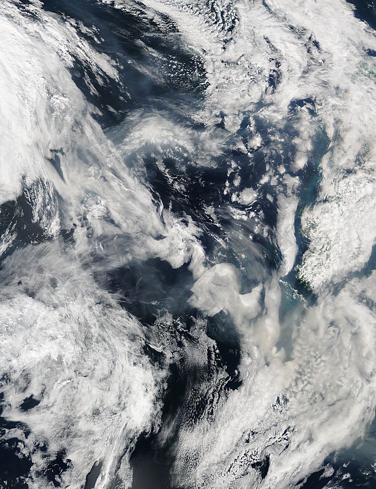
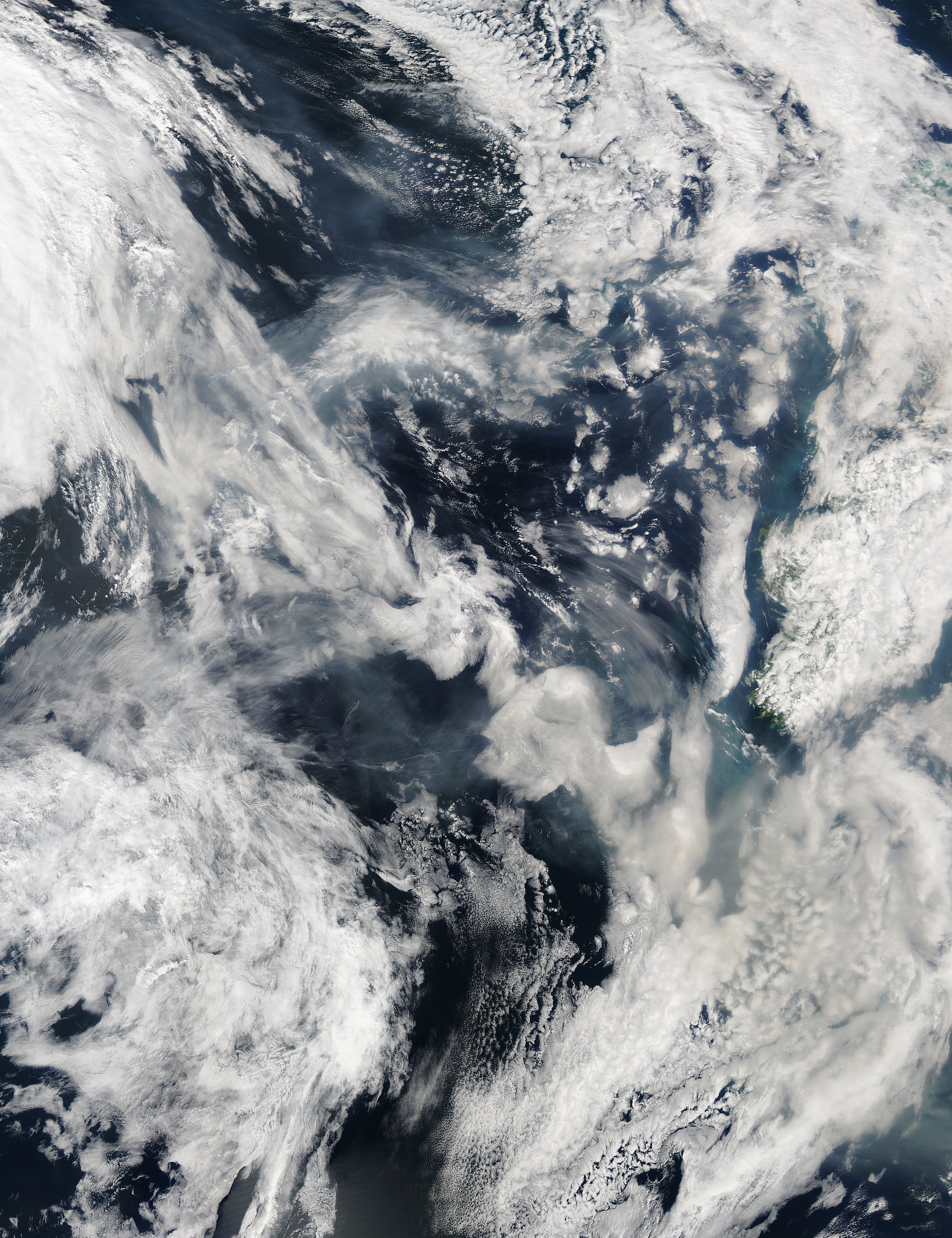
Smoke from Canadian fires over the Atlantic Ocean
Smoke from Canadian fires over the Atlantic Ocean
region: At
sat: Aqua
projection: Plate Carree
projection center lon: -17.1000
projection center lat: +53.0000
image center lon: -17.1
image center lat: +53
standard parallel: +55.0000
UL lon: -28.8574
UL lat: +61.7665
UR lon: -5.3387
UR lat: +61.7665
LR lon: -5.3387
LR lat: +44.2297
LL lon: -28.8574
LL lat: +44.2297
UL easting (km): -749.8750
UL northing (km): +6868.1250
x scale factor: +0.5735764363510462
ellipsoid: WGS84
Contact: Jeff Schmaltz
L2 granules: A131761420 A131761425
Images by the LANCE/EOSDIS Rapid Response team.
Published June 25, 2013
Data acquired June 25, 2013
- Source:
- Aqua > MODIS
- Collection:
- Rapid Response Gallery