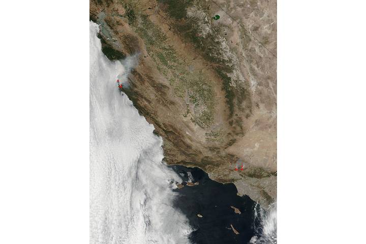
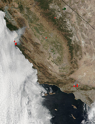
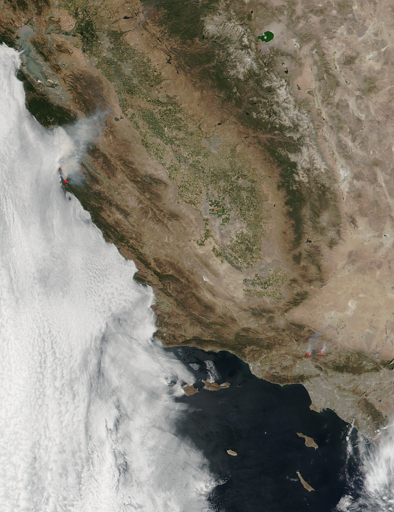

Soberanes and Sand Fires, California
Soberanes and Sand Fires, California
region: NA
United States
sat: SNPP
projection: Plate Carree
projection center lon: -120.0000
projection center lat: +35.5000
image center lon: -120
image center lat: +35.5
standard parallel: +35.0000
UL lon: -122.7460
UL lat: +38.4257
UR lon: -117.2457
UR lat: +38.4257
LR lon: -117.2457
LR lat: +32.5711
LL lon: -122.7460
LL lat: +32.5711
UL easting (km): -250.1250
UL northing (km): +4272.7500
x scale factor: +0.8191520442889918
ellipsoid: WGS84
Contact: Jeff Schmaltz
L2 granules: N162072100 N162072105
Images by the LANCE/EOSDIS Rapid Response team.
Published July 25, 2016
Data acquired July 25, 2016
- Source:
- Suomi NPP > VIIRS
- Collection:
- Rapid Response Gallery